The next Regular Meeting is scheduled to be held on April 23rd at 7pm at the District’s regular meeting place in Suite 103, Glencoe City Center, 1107 11th Street E., Glencoe, MN.
Regular meetings are now to be held at 7:00 pm. the fourth Tuesday of the month through October.
Our Annual Activity Report for 2022 can be accessed by clicking here.
Our Annual Activity Report for 2021 can be accessed by clicking here.
Click here to access our GIS website.
Introduction
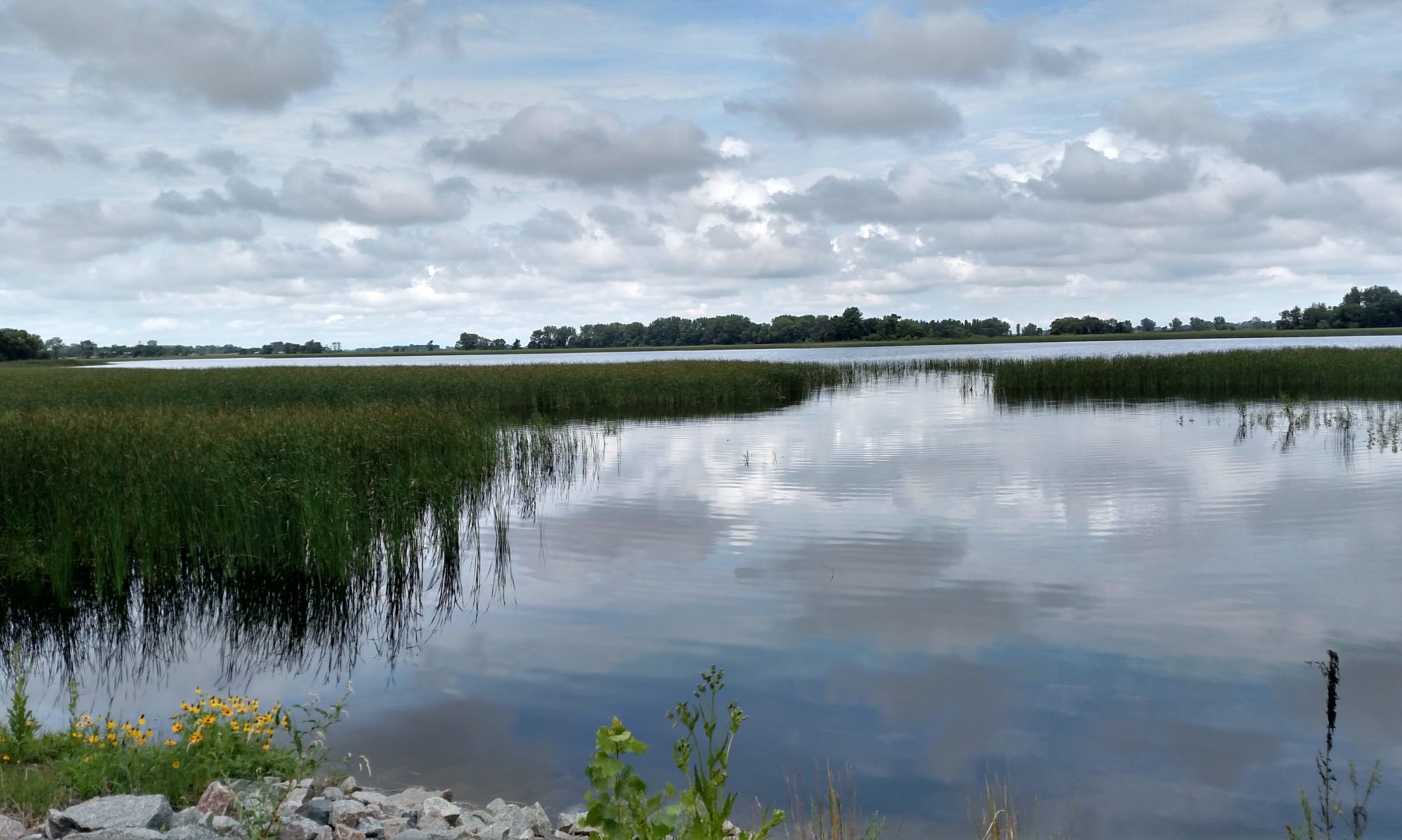
The Buffalo Creek Watershed District (BCWD) was established under the order of the Minnesota Water Resources Board (now known as the Minnesota Board of Water and Soil Resources) on January 30, 1969. On February 8, 1974, the District’s Board of Managers formally adopted its first Overall Plan, in accordance with Minnesota Statutes. The plan was developed to protect the public’s health and welfare and to conserve the natural resources of the District through land use planning, flood control and other conservation projects.
Mission
The BCWD was formed with the mission to:
1) help alleviate water problems, 2) enhance the living conditions of the area and 3) maintain or improve the economic well being of the residents of the District.
The District has in the past and will continue to strive towards the realization of this mission by:
- Serving as a link between residents and governmental agencies; Providing technical assistance to citizens and governmental agencies;
- Providing a means of financial assistance for the implementation of environmental projects; and
- Coordinating intergovernmental efforts.